Optical Surveying
Showing all 11 results
Optical surveying, also known as traditional surveying or land surveying, is a field that involves measuring and mapping the physical features of the Earth’s surface. It encompasses various techniques and instruments for accurately determining positions, distances, angles, and elevations on the ground. Optical surveying methods have been used for centuries and continue to be essential in modern construction, engineering, mapping, and land management projects. Some common techniques and instruments used in optical surveying include:
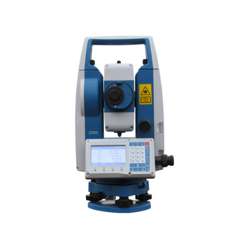
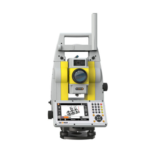
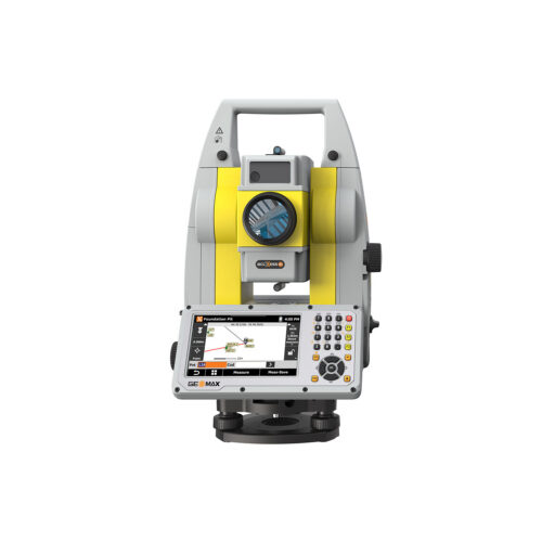
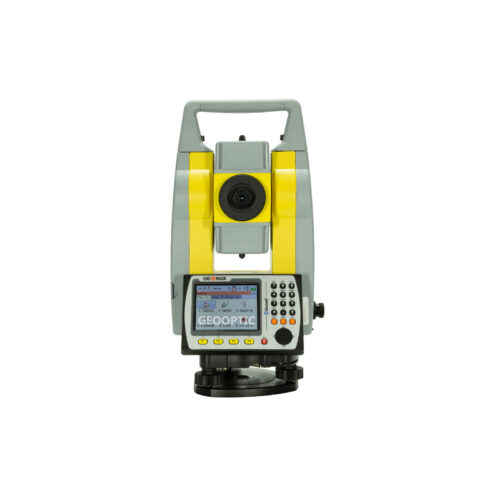
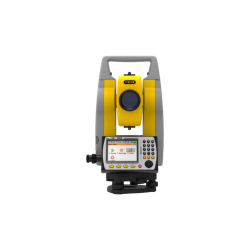
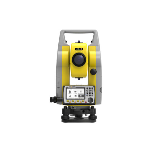
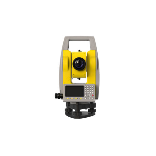
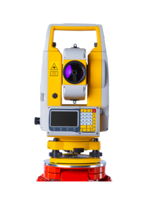
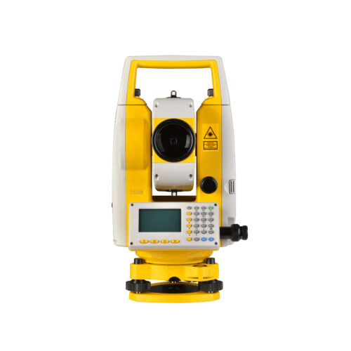
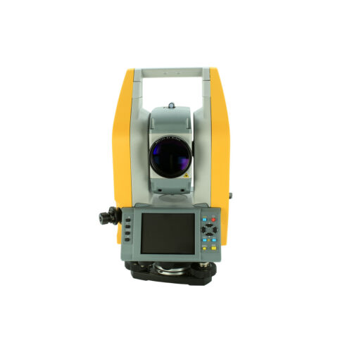
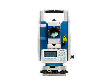
- Total Stations: Total stations are sophisticated surveying instruments that combine electronic distance measurement (EDM) technology with electronic theodolites. They can measure distances, angles, and vertical and horizontal positions with high accuracy. Total stations often have onboard software for data processing and can be used for various surveying tasks, including topographic mapping, construction layout, and boundary surveys.
- Theodolites: Theodolites are optical instruments used to measure horizontal and vertical angles. They consist of a telescope mounted on a rotating base and a vertical axis. Theodolites are commonly used in conjunction with other instruments, such as leveling devices, to determine precise angles for mapping and construction projects.
- Levels: Levels are instruments used to measure height differences or elevations between different points on the ground. They can be either optical (such as dumpy levels or automatic levels) or digital (such as laser levels). Levels are essential for establishing accurate vertical control in surveying and construction work.
- Tape Measures and Chains: Tape measures and chains are simple tools used for measuring distances on the ground. They are typically used for shorter distances or in situations where high accuracy is not required. Modern tape measures may incorporate laser technology for more precise measurements.
- Prisms and Reflectors: Prisms and reflectors are often used in conjunction with total stations for measuring distances. They reflect the EDM signal back to the instrument, allowing for accurate distance measurements over longer distances or in challenging terrain.
- Optical Plummets and Plummet Levels: Optical plummets and plummet levels are used for establishing vertical reference points or “plumb lines” to ensure that surveying instruments are set up accurately and vertically aligned.
Optical surveying techniques are widely used in various industries, including civil engineering, construction, mining, land development, and environmental management. While newer technologies such as GNSS and LiDAR have expanded the capabilities of surveying, optical surveying remains indispensable for many applications due to its versatility, accuracy, and reliability, especially in environments where GNSS signals may be obstructed or unreliable.
Buy Optical Surveying in Uzbekistsan, in Tashkent