CHC LandStar 7 software

CHC LandStar 7 software

LandStar 7 Android APP with CHC cloud service is modular, designed for high-precision surveying, engineering, cartography, GIS data collection.

Overall, CHC LandStar 7 is a comprehensive software solution for land surveyors, engineers, and GIS professionals, offering a range of tools and capabilities to support efficient and accurate surveying and mapping projects. Its advanced features, data management capabilities, and integration options make it a valuable tool for various surveying applications.

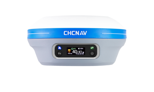
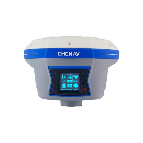
Tactical and technical characteristics

Displaying different basemaps

  • Supports OSM, BING and WMS online maps.
  • Supports offline maps DXF, SHP, TIF, SIT, KML and KMZ.

Wide format import and export data

  • Supports DXF, SHP, KML, KMZ, CSV, DAT, TXT and CGO as import formats.
  • Supports DXF, SHP, KML, KMZ, RAW, HTML, CSV, DAT, TXT as export formats.
  • Support customization of import and export content when selecting CSV, DAT, TXT formats.

Various types of measurements

  • Supports static data formats RINEX and CHC HCN.
  • Supports 7 spot measurement methods, including topographic point, control point, quick point, continuous point, offset point, adjusted EBubble point and corner point.
  • Support simultaneous Stop-and-Go and RTK measurement using topographic point or continuous point.

Efficient multi-code survey

  • Supports multicode for survey point, polyline and polygon simultaneously. One point can be a node for several polylines and polygons.
  • The quick code panel also reduces processing time.

Several types of breakdown

  • Support point and line split using anchor point snap on DXF basemap or viewpoint.
  • Support surface and road markings.

Various navigation tips

  • Support real-time display of direction, distance and cut/fill.
  • Various tolerances are available to set different degrees in different sounds in a targeted approach.

Convenient breakdown interface

  • Map mode shows current and target position.
  • Compass mode shows the direction of the target.
  • Users can set north, sun, or a point in a given direction.

Super packed travel elements

  • Create overview and dividing center lines, cross sections, station names from a designed road file such as ROD, DXF, LandXML file.
  • Calculate road elements such as cross sections, slopes, culverts, and user-defined design features.

LandXML road format

  • Convert horizontal and vertical curves into a CHC ROD file for road markings.
  • Road separation is more efficient and does not require users to enter alignments.

Changeable designs

  • For rates, slope, free slope, structure and data verification.

Description

CHC LandStar 7 software in Uzbekistan, Tashkent

Survey and map with advanced graphics tools
When shooting, it supports both OSM/BING online map and several basic map formats (DXF, SHP, TIF, SIT, KML, KMZ and WMS). Powerful editing tools allow users to edit measured and snapped objects to create and delete polylines, polygons, and circles. Other basic functions allow you to break polylines and redraw polygons.

Custom GIS attributes CHC LandStar 7 software
During data collection, users can customize attribute fields with media capture (image, video, and voice). The multi-code feature allows users to simultaneously explore polylines and polygons using the same points to suit your project requirements.

Super Packed Road Feature CHC LandStar 7 software
Features include horizontal and vertical alignment, sloped cross sections, and user-defined structures to enable efficient surveying and staking. Advanced data validation allows users to eliminate costly errors. Users can manually enter or import designed road elements from LandXML files, select a polyline from a DXF file as the road centerline, and stake out a station or explore a cross section.

Simple pipeline inspection
Simplifies underground pipeline inspection using integrated data from a GNSS receiver and pipeline detector. Users can save highly accurate and high quality pipeline coordinates with attributes for export to SHP/CSV files.

Cloud service CHC

Allows you to upload and download projects, coordinate systems, operating modes and code lists.

Other productes in category  Survey and Engineering