Description
Geomatics Office Software 2 0 in Uzbekistan, Tashkent
Additional processing modules
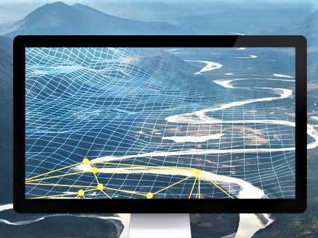
Users can process massive field data in one software. Process data using Static, PPK, PPP algorithms in the GNSS module. Edit the surveyed functions and use the PPK post-processing results to adjust the field coordinates in the RTK module. Check and enter design road elements for road marking in the Road module and get the corrected coordinates of the UAV track using the RTK and PPK algorithms in the UAV data processing module.
Fast machine for post-processing Geomatics Office Software 2 0
Users can provide absolutely accurate positions with binding with faster, more reliable and accurate algorithms for processing and setting the baseline. Thanks to several clicks, engineers have the ability to process GPS, GLONASS, BeiDou and Galileo static or dynamic data in several observational file formats with predefined coordinate systems and multiple antenna manufacturers. Intuitive workflow after processing with quality control, the ability to select an online map and download CORS reference data. Automatically saved results in all procedures make it easy to track and export data.
Other tools Geomatics Office Software 2 0
CGO 2.0 offers access to various tools, making it easier to work in the office using a coordinate converter, antenna manager, TIFF card compressor (SIT), angle calculator, distance and volume calculation functions, RINEX converter, separation and merge tools.
More intuitive interface
Users can follow an easy-to-use interface to complete the workflow with minimal training requirements and see the manual in a user-friendly message box. The ability to customize the display of layouts and modules makes the software adaptable to your work habits.
Other productes in category Без категории


