CHC Geomatics Office Software

CHC Geomatics Office Software

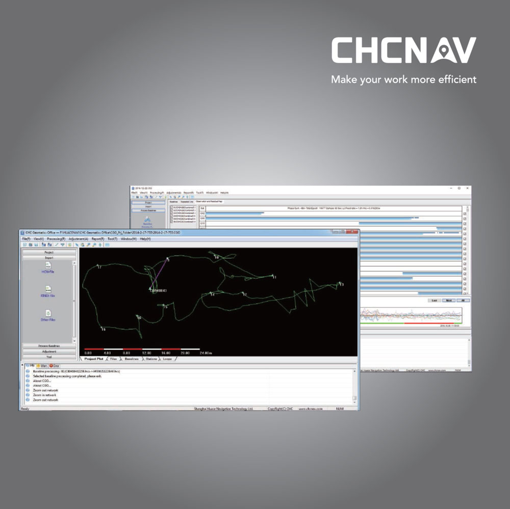
The CHC Geomatics Office (CGO) software is a desktop application software for the subsequent processing of all current GNSS data (GPS, GLONASS and BDS).

Overall, CHC Geomatics Office is a comprehensive software solution for GNSS data processing and analysis, offering a range of tools and capabilities to support professional surveying and geospatial applications. It enables users to efficiently process, analyze, and manage geospatial data to generate accurate position solutions and support informed decision-making in various industries and sectors.

Tactical and technical characteristics

More Processing Modules

Users can process massive fieldwork data in one software. Process data with Static, PPK, PPP algorithms in the GNSS module. Edit surveyed features and use PPK post-processing results to correct field coordinates in the RTK module. Check and input designed road elements for road stakeout in the Road module, and get corrected UAV track coordinates by using both RTK and PPK algorithms in the UAV data processing module.

Fast Post-processing Engine 

Users can deliver absolute accurate georeferenced positions with faster, reliable and accurate baseline processing and adjustment algorithms. Just with few clicks, engineers have ability to process GPS, GLONASS, BeiDou and Galileo static or dynamic data in multiple observation file formats with predefined coordinate systems and multiple manufactures antennas. Intuitive post-processing workflow with quality check, selectable online map and CORS reference data downloading. Auto-saved results in all procedures make data easier to track and export.

More Tools

CGO 2.0 offers access to different tools to make office work easier by using coordinates converter, antenna manager,TIFF map compressor (SIT), angle calculator, distance and volume calculation functions, RINEX converter, observation split and merge tools.

More Intuitive Interface

Users can follow the ease-to-use interface to complete workflow with just minimum training requirements and see guidance in the user-friendly message box. Ability to customise layout and modules displaying makes the software adapt to your working habits.

Description

CHC Geomatics Office Software in Uzbekistan, Tashkent

CGO also supports a variety of raw data formats from major brands to provide seamless integration with the existing equipment pool.

  • Post-process static and kinematic observations of GNSS.
  • Support for GPS, GLONASS and BDS data.
  • Support for multiple import formats for raw data, including RINEX, compressed RINEX, HCN, DAT, RT17, RT27, BD9, NOV, LB2, MDB, TXT, B *. *, TPS, JPS, RAW, UBX, RTCM3 and HRC.
  • The quality control threshold during the process of importing raw GNSS data.
  • Support of various basic reports, including network configuration, closing of circuits, etc.
  • Support for the basic export file formats COSA, TBC / TGO and CHC.
  • Customizing the report to provide both adequate and comprehensive information
  • Precise ephemeris can be downloaded and used for processing.
  • Support for a global coordinate system with a geoid and grid shift file.
  • Maintain the least-squares network configuration.

CHC Geomatics Office (CGO) is a software suite developed by CHC Navigation for processing, analyzing, and managing geospatial data collected using GNSS (Global Navigation Satellite System) receivers and other surveying equipment. Here’s an overview of the features and capabilities of CHC Geomatics Office:

  1. Data Processing CHC Geomatics Office Software: CGO provides tools for processing raw GNSS data collected in the field into accurate position solutions. It supports various data formats, including RINEX (Receiver Independent Exchange Format), for compatibility with different GNSS receivers and surveying instruments.
  2. Post-Processing GNSS Data CHC Geomatics Office Software: CGO enables post-processing of GNSS data to achieve higher accuracy than real-time positioning. It supports differential correction techniques such as PPP (Precise Point Positioning) and network RTK (Real-Time Kinematic) for achieving centimeter-level positioning accuracy.
  3. Quality Control and Adjustment CHC Geomatics Office Software: The software includes tools for quality control and adjustment of GNSS data, allowing users to detect and correct errors and anomalies in the data. This ensures the integrity and accuracy of the final position solutions.
  4. Data Analysis and Visualization CHC Geomatics Office Software: CGO offers capabilities for analyzing and visualizing geospatial data, including GNSS positions, tracks, and measurements. It provides tools for generating maps, graphs, and reports to facilitate data interpretation and decision-making.
  5. Coordinate Systems and Datums: The software supports a wide range of coordinate systems and geodetic datums, allowing users to work with data collected in different geographic regions and coordinate reference systems.
  6. Geodetic Calculations: CGO includes tools for performing geodetic calculations such as coordinate transformations, distance and area calculations, and geoid modeling. This enables users to perform various geospatial calculations and analyses within the software.
  7. Data Export and Integration: The software allows users to export processed data to common GIS (Geographic Information System) and CAD (Computer-Aided Design) formats for further analysis and integration with other geospatial datasets.
  8. Project Management: CGO provides project management capabilities for organizing and managing geospatial data and projects. It enables users to create and manage project files, data sets, and processing workflows efficiently.
  9. User Interface and Workflow: The software features an intuitive user interface designed to streamline data processing workflows and enhance user productivity. It offers customizable layouts, toolbars, and shortcuts to accommodate users’ preferences and workflows.

Other prodcutes in category  Survey and Engineering