 1")
 2")
 3")
Description
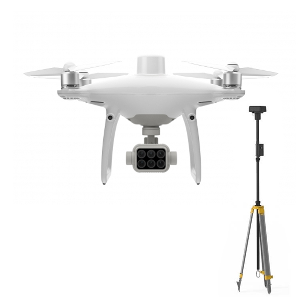
DJI Phantom 4 Multispectral in Uzbekistan, Tashkent
- 5-band multispectral imaging system;
- Real-time NDVI broadcast;
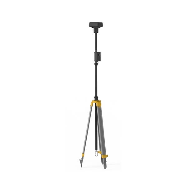
- RTK module;
- TimeSync.
Intelligent technologies for plant control DJI Phantom 4 Multispectral
DJI Phantom 4 Multispectral makes it easy to collect plant health data. A high-precision drone with an integrated multispectral imaging system specifically designed for agricultural operations and environmental monitoring.
Instantly receive information about plant health DJI Phantom 4 Multispectral
The DJI Phantom 4 Multispectral quadcopter receives and processes data from 6 different sensors to determine the health of crops at different scales – from individual plants to entire fields. The drone analyzes the situation with weeds, the presence of insects, and the condition of the soil. The device is capable of detecting obstacles in 5 directions, max. The flight time is 27 minutes, and the signal transmission range is up to 7 km using the OcuSync system. Thus, the simple and reliable DJI Phantom 4 Multispectral complex sets new standards in the field of unmanned aerial platforms created specifically for agriculture.
Accurate multispectral imaging DJI Phantom 4 Multispectral
The built-in image stabilization system is capable of collecting and recording complex data without additional settings. The information is fed into an RGB camera and 5 multispectral cameras with the following channels: blue, green, red, red edge and near infrared. All cameras are equipped with a global shutter with a resolution of 2 MP and are located on a 3-axis stabilizer.
The DJI Phantom 4 Multispectral (P4M) is a specialized version of the popular Phantom 4 drone series designed specifically for agricultural and environmental monitoring applications. Here are the key features and functionalities of the DJI Phantom 4 Multispectral:
- Multispectral Camera: The P4M is equipped with a multispectral camera that captures data across multiple spectral bands, including RGB (Red, Green, Blue) and near-infrared (NIR) wavelengths. This allows for the precise analysis of vegetation health, crop status, and environmental conditions.
- Integrated Spectral Bands: The multispectral camera typically captures data in five spectral bands: blue, green, red, red edge, and near-infrared. These bands provide detailed information about plant health, chlorophyll content, and other vegetation parameters.
- High-Resolution Imaging: The P4M camera captures high-resolution images, allowing for detailed analysis and mapping of agricultural fields, orchards, forests, and other vegetation-covered areas.
- Real-Time Data Collection: The drone’s multispectral camera provides real-time data collection capabilities, allowing farmers, agronomists, and environmental scientists to monitor crop health and environmental changes on the fly.
- Precise Mapping and Analysis: The P4M integrates with specialized software for mapping, analysis, and interpretation of multispectral data. These software solutions provide tools for generating vegetation indices (such as NDVI), creating orthomosaics, and identifying areas of interest within agricultural fields.
- Flight Planning and Automation: The Phantom 4 Multispectral supports DJI’s flight planning software, such as DJI Pilot and DJI Terra, as well as third-party applications. Users can plan automated flight missions, define survey areas, and execute precise data collection tasks with ease.
- Obstacle Avoidance and Flight Safety: Like other models in the Phantom 4 series, the P4M features obstacle sensing and avoidance sensors on all sides of the aircraft, providing 360-degree protection during flight. This helps prevent collisions with obstacles and ensures safe and reliable operation in complex environments.
- Long Flight Time: The drone offers an extended flight time compared to consumer-grade drones, allowing for prolonged data collection missions without the need for frequent battery changes.
- Compact and Portable Design: The Phantom 4 Multispectral retains the compact and portable design of the Phantom 4 series, making it easy to transport and deploy in the field.
- Integration with Agricultural Equipment: The P4M integrates with various agricultural equipment and software platforms used in precision agriculture, allowing for seamless data sharing and integration into existing workflows.
Overall, the DJI Phantom 4 Multispectral is a powerful tool for precision agriculture, environmental monitoring, and land management applications. Its multispectral imaging capabilities, combined with advanced flight features and software integration, make it an invaluable asset for farmers, agronomists, and environmental scientists seeking to optimize crop yields, monitor vegetation health, and manage natural resources more effectively.
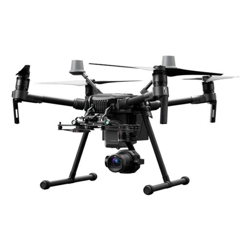
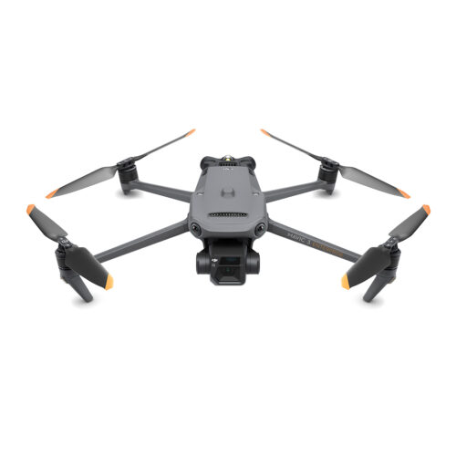
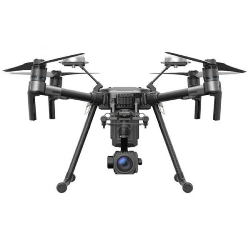
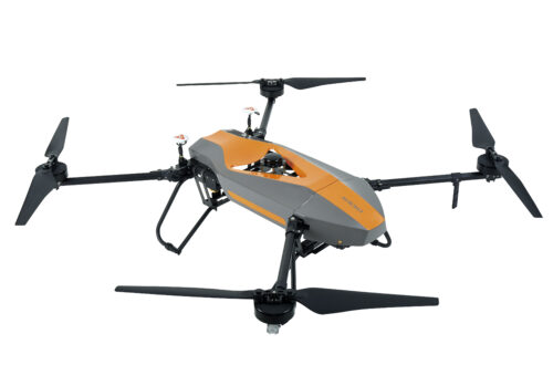
Other products in category Unmanned Aircraft Systems