Description
echo sounder CHC APACHE5 in Uzbekistan, Tashkent
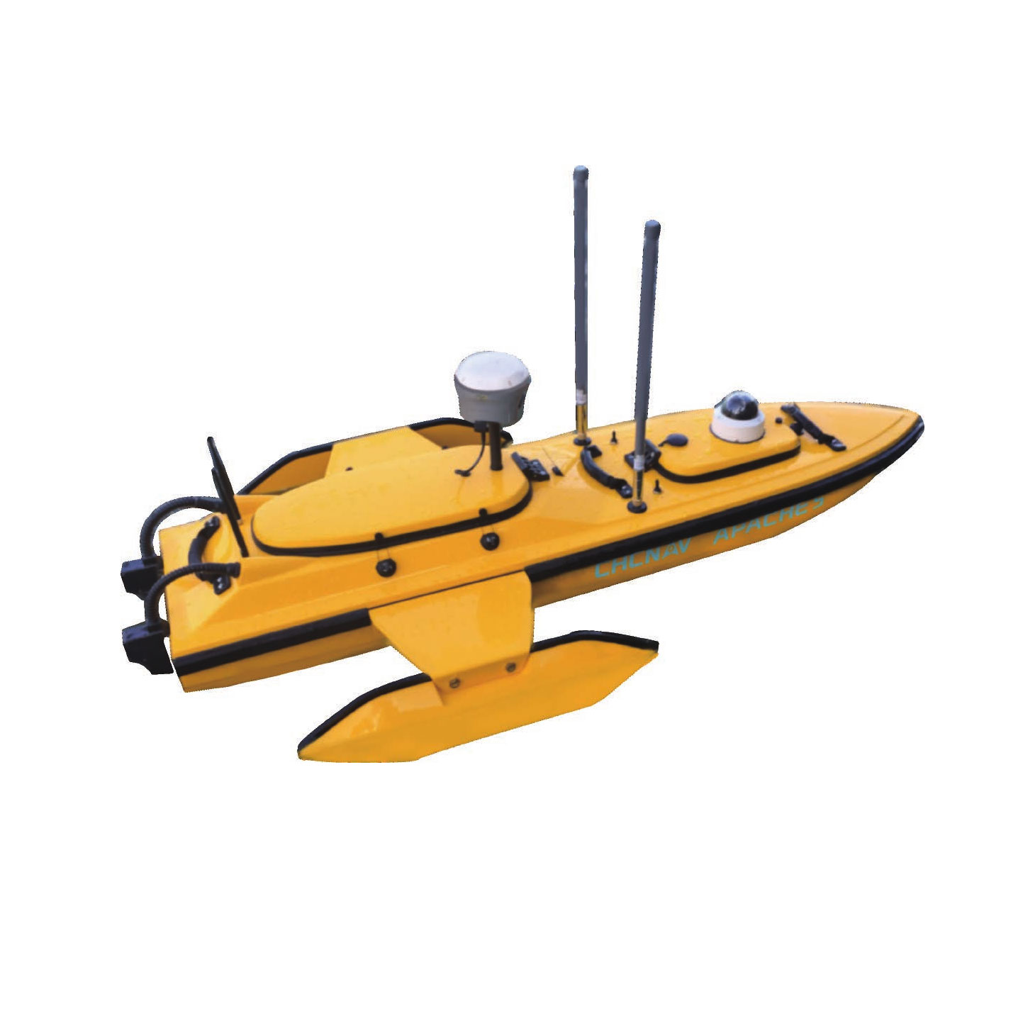
APACHE 5 is ideal for geomorphological surveys and mapping, channel surveys and underwater geological exploration. Because the system can be used remotely or autonomously, it greatly improves the safety of your personnel. The system also improves the flexibility and efficiency of underwater monitoring and hydrographic surveying.
Digital radio communications and a wireless high-definition video camera are standard on the APACHE 5. Optional equipment such as single-beam or multi-beam sonars, side-scan sonars and GNSS receivers can also be installed.
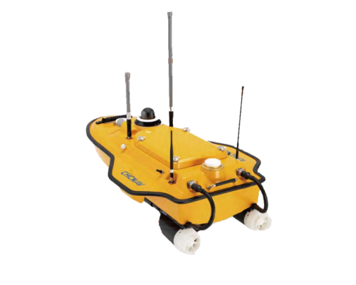
APACHE 5 can collect and store data locally from multiple sensors in real time. The triple body features anti-corrosion technology, making it suitable for all types of environments. APACHE 5 can be pre-programmed with a mission and left to navigate and collect data autonomously.
The CHC APACHE5 is an unmanned boat equipped with an echo sounder, designed for hydrographic surveying and marine exploration applications. Here’s an overview of its features and capabilities:
- Unmanned Operation echo sounder CHC APACHE5: The APACHE5 is designed to operate autonomously, without the need for onboard crew. It can be remotely controlled or pre-programmed to navigate predefined routes, making it suitable for surveying in remote or hazardous marine environments.
- Hydrographic Surveying echo sounder CHC APACHE5: Equipped with an echo sounder, the APACHE5 is capable of conducting hydrographic surveys to map the underwater topography, depth contours, and submerged features of the seabed. This data is essential for navigation, dredging, offshore construction, and environmental monitoring projects.
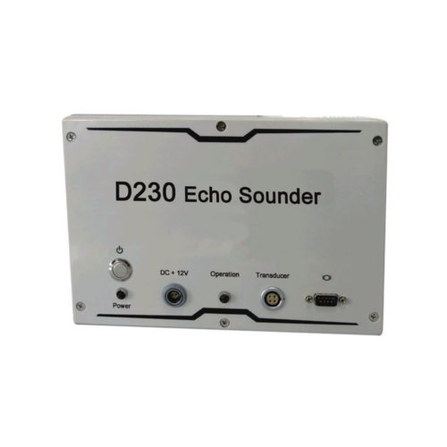
- Echo Sounder echo sounder CHC APACHE5: The echo sounder onboard the APACHE5 emits acoustic pulses into the water, which bounce off the seabed and other underwater features. By measuring the time it takes for the sound waves to return, the echo sounder can calculate water depth and create detailed bathymetric maps of the surveyed area.
- High-Precision GNSS Positioning echo sounder CHC APACHE5: The APACHE5 is typically equipped with high-precision GNSS (Global Navigation Satellite System) receivers, such as GPS (Global Positioning System) or GNSS RTK (Real-Time Kinematic), to provide accurate positioning data for georeferencing survey data and navigation.
- Remote Monitoring and Control: Operators can remotely monitor and control the APACHE5 using a ground control station or a dedicated software interface. This allows for real-time monitoring of survey progress, navigation adjustments, and data acquisition.
- Rugged and Waterproof Design: The APACHE5 is designed to withstand harsh marine conditions, with a rugged and waterproof construction that can endure exposure to saltwater, waves, and adverse weather conditions.
- Long Endurance: The APACHE5 is typically equipped with a high-capacity battery or fuel system that provides long endurance for extended survey missions. This allows it to cover large areas and operate for extended periods without the need for frequent recharging or refueling.
- Data Logging and Processing: The APACHE5 may feature onboard data logging capabilities to record survey data, echo sounder measurements, and navigation parameters. This data can be processed and analyzed after the survey to generate accurate bathymetric maps and reports.
- Versatile Applications: The APACHE5 is suitable for a wide range of marine surveying and exploration applications, including hydrographic surveying, bathymetric mapping, underwater exploration, environmental monitoring, and marine resource management.
Other productes in category Marine construction


