Description
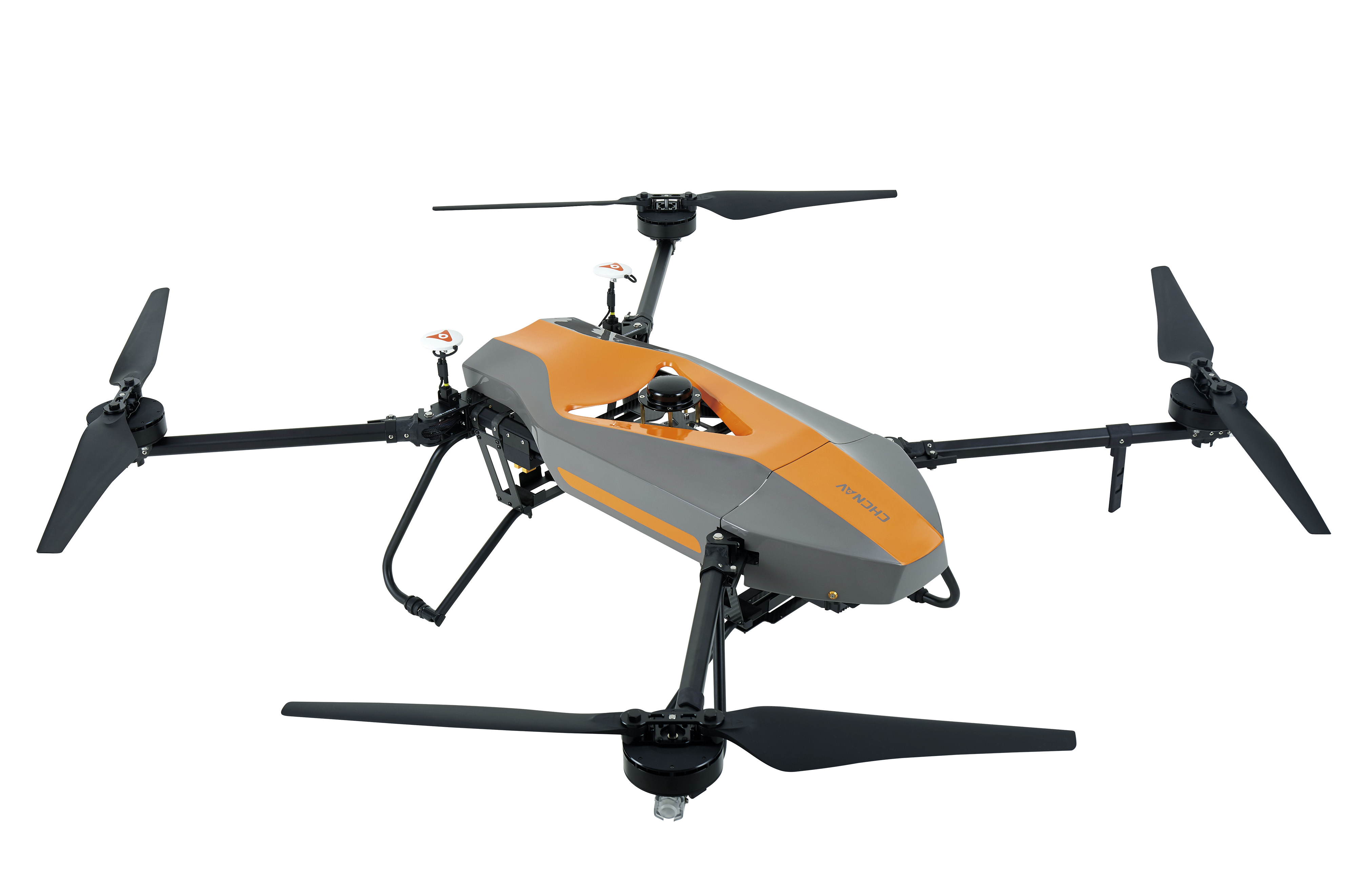
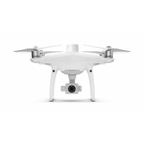
BB4 unmanned aerial vehicle in Uzbekistan, Tashkent
P540V, with CAN 2.0B bus system, superior control algorithm and AAHRS (Attitude, Altitude and Heading System), integrates multiple high-precision sensors such as accelerometer, gyroscope and magnetometer. The operation of P540V is very simple that even a beginner can learn how to operate it in a short time.
The P540V has an excellent safety system that allows you to automatically hover in the air as soon as the remote control stops operating.
Based on modular design, P540V can flexibly replace on-board equipment to meet the requirements of different missions. The ability to carry high-definition digital camera, video camera to high-performance thermal infrared camera, as well as customized equipment such as air sampling device, air delivery equipment and air purification device makes the P540V an ideal choice for a variety of tasks and applications.
The BB4 unmanned aerial vehicle (UAV) is a model designed for various aerial applications, including surveying, mapping, surveillance, photography, and agriculture. However, without specific context or manufacturer details, it’s challenging to provide detailed information about this particular model.
Typically, UAVs like the BB4 come equipped with features such as:
- Camera System BB4 unmanned aerial vehicle: UAVs are commonly equipped with high-resolution cameras capable of capturing images and videos from aerial perspectives. These cameras may have features like zoom, tilt, and stabilization to enhance image quality.
- GPS Navigation BB4 unmanned aerial vehicle: UAVs often incorporate GPS technology for precise navigation and waypoint-based flight planning. This allows for autonomous flight and accurate positioning of captured data.
- Flight Control System BB4 unmanned aerial vehicle: UAVs are equipped with flight control systems that manage navigation, stability, and communication between the aircraft and ground control station.
- Payload Capacity: Depending on the model and configuration, UAVs may have the capability to carry additional payloads such as multispectral or thermal cameras, LiDAR sensors, or other specialized equipment for specific applications.
- Battery Life and Range: Battery life and flight range vary among UAV models. Longer flight times and extended ranges allow for more extensive coverage during aerial surveys or missions.
- Data Processing Software: Many UAVs come with software for mission planning, data acquisition, and post-processing of captured images or sensor data. This software often includes features for generating maps, 3D models, or orthomosaics from aerial data.
- Rugged Design: UAVs designed for professional use often feature rugged construction and weather-resistant materials to withstand harsh environmental conditions encountered during outdoor operations.
- Telemetry and Communication: UAVs typically have telemetry systems for real-time monitoring of flight parameters and communication links for transmitting data between the aircraft and ground control station.
- Regulatory Compliance: Depending on the country or region of operation, UAVs must comply with relevant regulations and airspace restrictions. Compliance may involve registration, licensing, and adherence to flight rules and safety guidelines.
Other productes in category Unmanned Aircraft Systems

