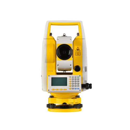
Description
Ultimate GO Zoom 10 in Uzbekistan, Tashkent
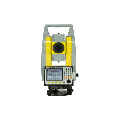
Hexagon quality control
It is a priority for our company that GeoMax equipment operates in any conditions. Like all other GeoMax products, the Zoom 10 total station undergoes rigorous quality control according to the standards of Hexagon, the world leader in manufacturing.
COORDINATE GEOMETRY AND REFERENCE LINE Ultimate GO Zoom 10
X-PAD Ultimate Survey GO includes basic coordinate geometry functionality that allows you to create new points in a project or perform various calculations. The program also includes a reference line function for determining the coordinate position of points or elements relative to the object selected as a reference (line, arc, drawing element).
CONTINUOUS COMMUNICATION BETWEEN THE OFFICE AND THE FIELD Ultimate GO Zoom 10
With X-PAD Ultimate Survey GO, you can open or import any file, even if it’s in the cloud. You can store your data on the most popular cloud platforms such as Google Drive, Microsoft’s OneDrive and Dropbox, and have direct access to your data both in the field and in the office.
DISTRIBUTION OF POINTS, LINES, DRAWINGS
Every graphic element, including points, lines, arcs, and any location defined in the graphics area, can be plotted. Voice prompts allow you to place points without even looking at the display.
Other products in category Optical Surveying