Description
GNSS Receiver CHCNAV i50 in Uzbekistan, Tashkent
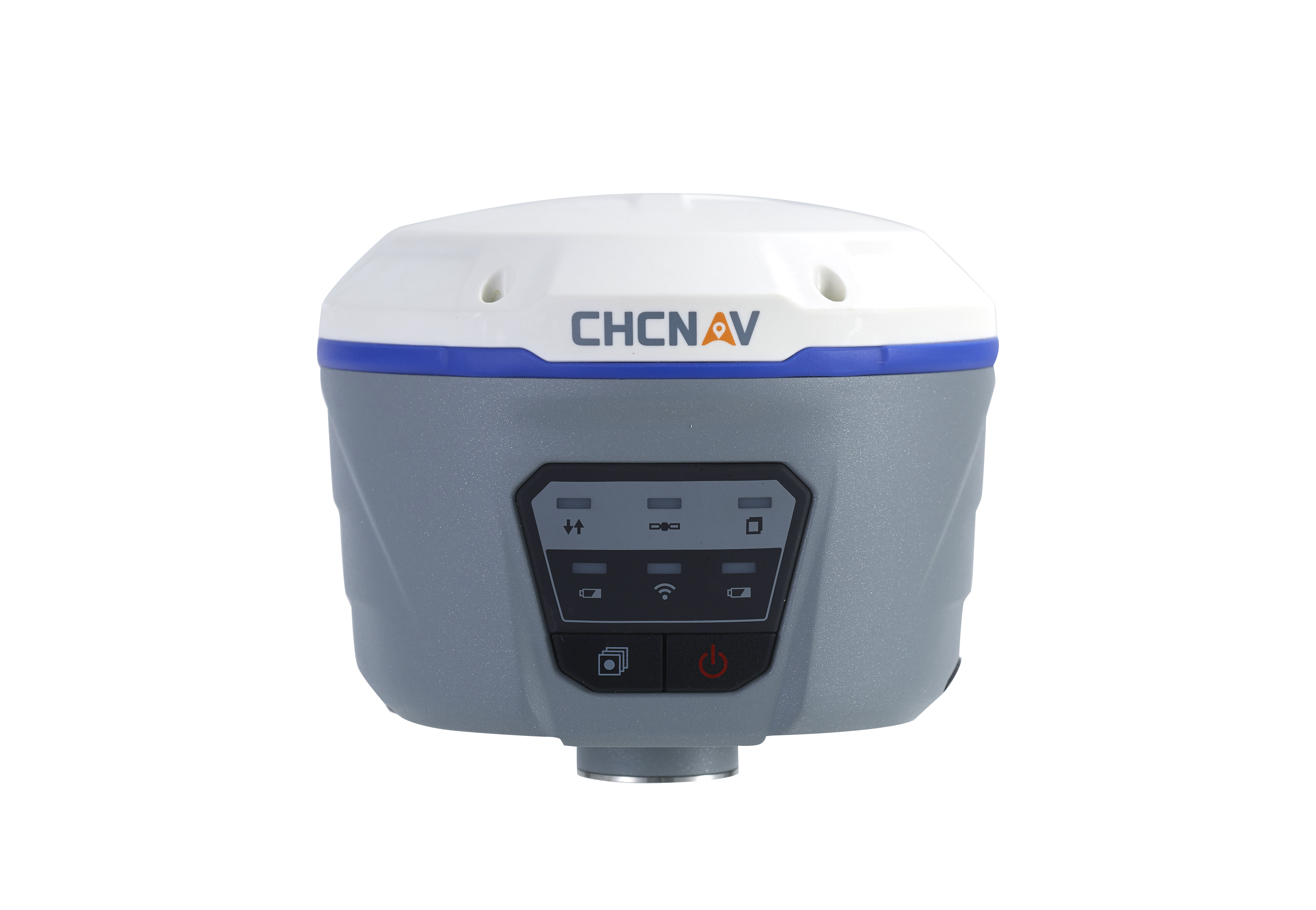
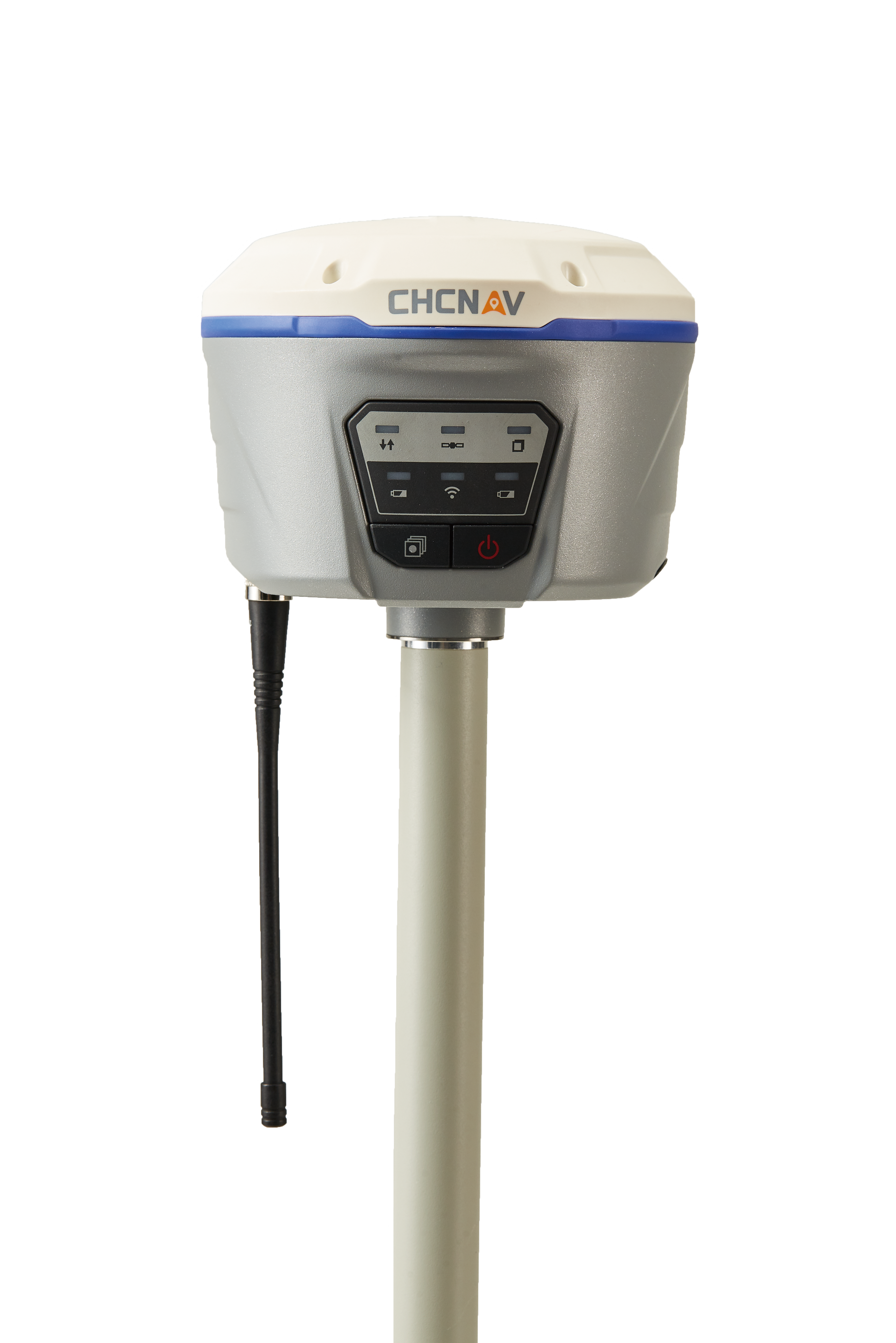
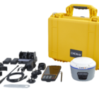
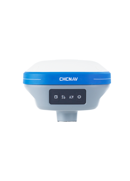
The i50 GNSS receiver combines positioning and communications technologies in a rugged package that offers flexible operation. When RTK networks are not available on your job sites, simply install one GNSS i50 base and use your GNSS i50 rover to conduct RTK surveys.
The CHCNAV i50 is a GNSS (Global Navigation Satellite System) receiver manufactured by CHC Navigation, a company specializing in surveying and positioning equipment. The i50 receiver is designed for various surveying and mapping applications that require accurate positioning data. Here’s an overview of the CHCNAV i50 GNSS receiver:
- GNSS Technology GNSS Receiver CHCNAV i50: The i50 receiver utilizes multiple GNSS constellations, including GPS (Global Positioning System), GLONASS (Global Navigation Satellite System), Galileo, and BeiDou. By receiving signals from multiple satellite systems, the receiver can achieve high accuracy and reliability in positioning.
- Dual-Frequency GNSS GNSS Receiver CHCNAV i50: The i50 receiver supports dual-frequency GNSS tracking, allowing it to receive signals on both L1 and L2 frequencies. Dual-frequency tracking improves positioning accuracy and mitigates errors caused by ionospheric and multipath effects.
- Real-Time Kinematic (RTK) Positioning GNSS Receiver CHCNAV i50: The i50 receiver supports RTK positioning, a technique used to achieve centimeter-level accuracy in real-time. It compares its measurements with those of a base station to calculate precise corrections that are transmitted to the rover receiver, enabling high-precision positioning.
- Trimble Maxwell 6 GNSS Technology: The i50 receiver is equipped with Trimble Maxwell 6 GNSS technology, known for its high-performance tracking and robust signal processing capabilities. This technology enhances the receiver’s ability to acquire and track GNSS signals even in challenging environments.
- Integrated Communication Options GNSS Receiver CHCNAV i50: The i50 receiver features integrated communication options for data transfer and configuration. It may include Bluetooth, Wi-Fi, and cellular modem capabilities, allowing for convenient wireless communication with external devices and networks.
- Rugged and Compact Design: The i50 receiver is designed to withstand harsh environmental conditions encountered in outdoor surveying operations. It typically features a rugged and compact housing that is water-resistant and shockproof, ensuring reliable performance in the field.
- Flexible Mounting Options: The i50 receiver can be mounted on surveying poles, tripods, or other mounting accessories for versatile deployment in various surveying applications. Its compact and lightweight design makes it easy to transport and set up in the field.
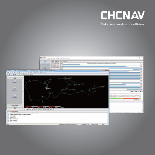
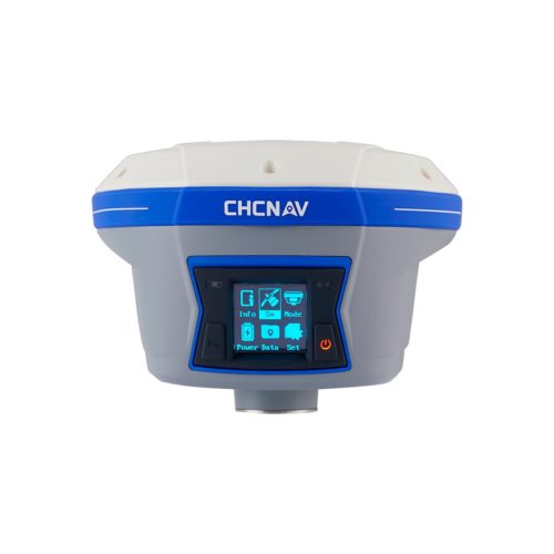
- User-Friendly Interface: The i50 receiver features a user-friendly interface with intuitive controls and a clear display screen for easy operation. It may include software tools for configuring settings, monitoring satellite signals, and analyzing positioning data collected by the receiver.
- Versatile Applications: The i50 receiver is used in a wide range of surveying and mapping applications, including land surveying, construction, agriculture, GIS (Geographic Information Systems), and asset management. It provides accurate positioning data for mapping, navigation, and asset tracking purposes.
Other productes in category Survey and Engineering

