

Description
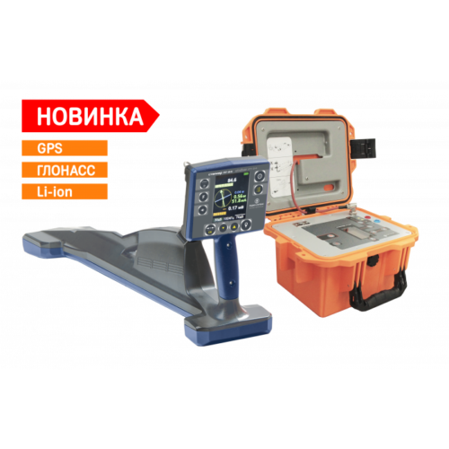
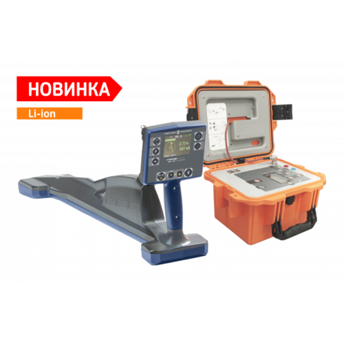
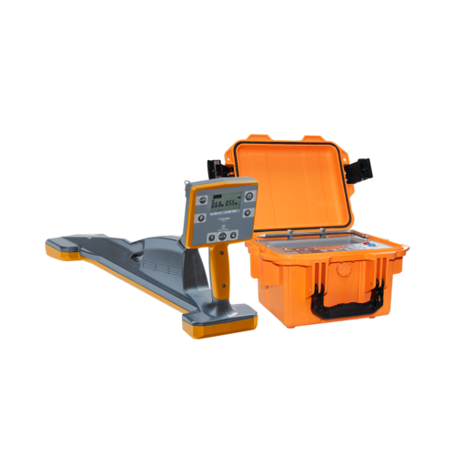
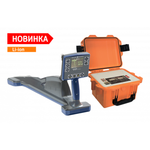
Locator Stalker 15-24 in Uzbekistan, Tashkent
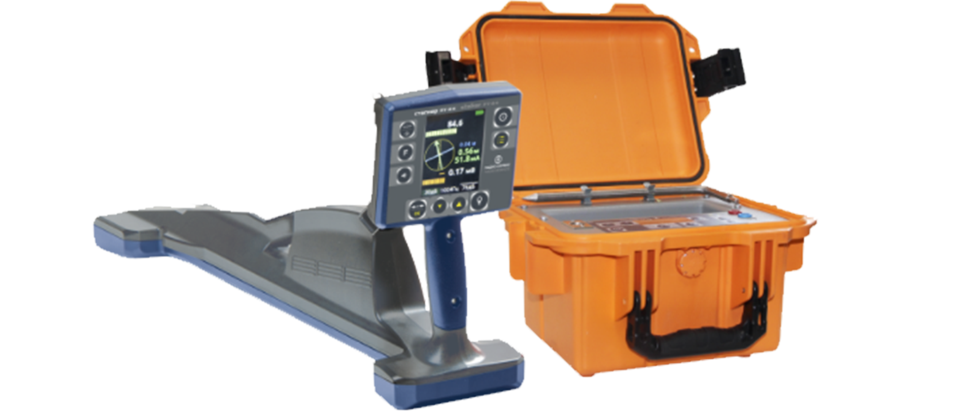
General features of the locator “Stalker 15-24”:
- Compass function – a schematic display of two communications on the receiver display;
- Search for the position of transmitting probes and television inspection cameras
- GPS – removal of underground routes with subsequent overlay on the map;
- Ability to use a smartphone instead of an external GPS/GLONASS module;
- Wireless connection with PC (Bluetooth);
- RADIO frequency (passive) for searching a route without a generator;
- Frequency 33 kHz for contactless supply of the generator signal to the cable;
- Search for damage using “phase”, contact and non-contact methods;
- Selection of cores in the cable and identification of the cable in the bundle using a mini sensor MD-01;
- Contactless transmission of a search signal using transmitting clamps KI-50 or KI-100;
- Search for communications at a depth of up to 10 m and a distance of up to 10 km from the generator connection point;
- Lightweight and compact generator GT-15. This generator is included in the set of Stalker defect detection systems: 15-14, 15-04, 15-02M;
- PT-24 receiver menu in Russian, English and Chinese.
The Locator Stalker 15-24 is a ground penetrating radar (GPR) system manufactured by Stalker Radar, a company specializing in radar-based technology solutions. While there is no specific information available on the Stalker 15-24 model, typically, GPR systems like this are used for subsurface imaging, allowing users to detect and map buried objects, utilities, and geological features. Here’s a general overview of ground penetrating radar technology and its applications:
- Principle of Operation: Ground penetrating radar systems operate by emitting electromagnetic pulses into the ground and analyzing the reflections (echoes) that bounce back from subsurface features. The time it takes for the signal to return and the strength of the return signal provide information about the depth, size, and composition of underground objects.
- Subsurface Imaging: GPR systems like the Locator Stalker 15-24 are used for subsurface imaging, allowing users to visualize underground features without the need for excavation. Common applications include utility locating, archaeological surveys, geological mapping, environmental studies, and concrete inspection.
- Detection Capabilities: GPR systems can detect a wide range of subsurface features, including buried utilities (such as pipes, cables, and conduits), voids, foundations, geological strata, and archaeological artifacts. The system’s ability to detect these features depends on factors such as the material composition, size, and depth of the objects.
- Data Interpretation: The data collected by the GPR system is typically displayed in real-time on a monitor or recorded for later analysis. Users interpret the data by identifying patterns, anomalies, and signatures that correspond to specific subsurface features. Advanced signal processing techniques may be used to enhance data quality and extract valuable information from the radar data.
- Field Deployment: GPR systems are typically deployed in the field using handheld or cart-mounted devices. The equipment is maneuvered over the survey area, and radar data is collected along transects or grids to ensure comprehensive coverage of the site.
- Depth and Resolution: The depth and resolution capabilities of GPR systems vary depending on factors such as the system’s frequency, antenna configuration, and soil conditions. Higher frequencies provide better resolution but limited penetration depth, while lower frequencies offer deeper penetration but lower resolution.
- Data Interpretation Software: Many GPR systems come with dedicated software for data interpretation, processing, and visualization. These software packages allow users to analyze radar data, generate 3D images, and create detailed subsurface maps for further analysis and reporting.
Other products in category Locators