

Description
RD Maps in Uzbekistan, Tashkent
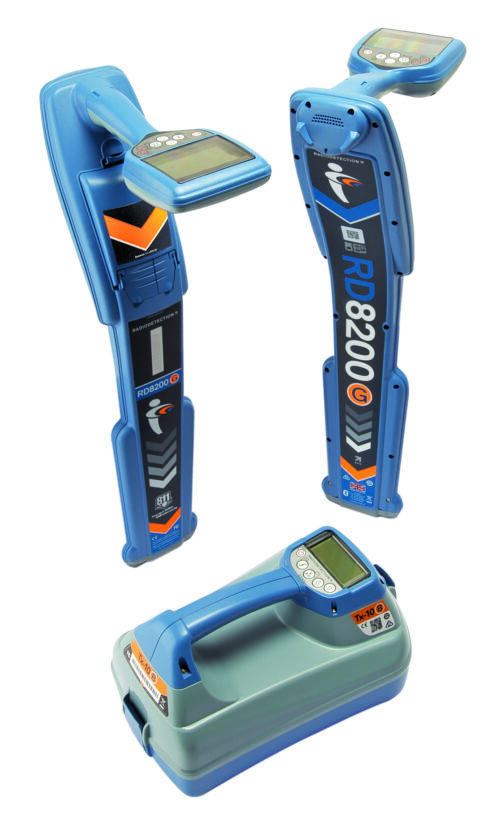
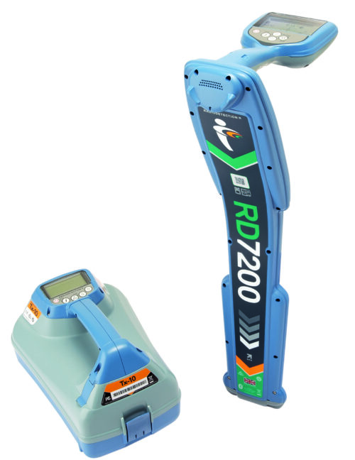
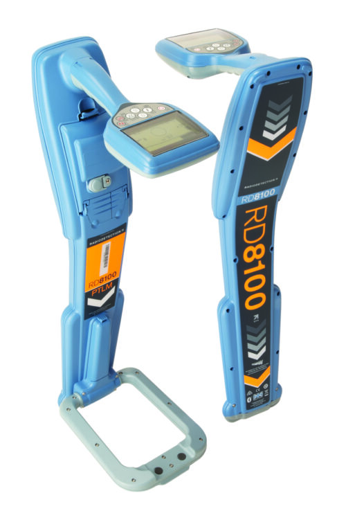
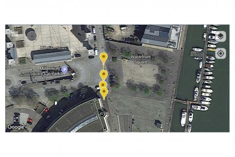
RD Map™ is a free Map & Share™ for Android, which supports precision Bluetooth Radiodetection locators and allows locator technicians to create and share detailed maps of underground utilities straight from the field.
“RD Maps” could refer to various mapping software or applications developed by Radiodetection, a company specializing in utility locating equipment. These mapping tools are typically used in conjunction with Radiodetection’s utility locating devices to visualize and record underground utility data.
While the specific features and capabilities may vary depending on the version or model of RD Maps, here are some common features often found in mapping software provided by utility locating equipment manufacturers:
- GIS Integration: RD Maps software may integrate with Geographic Information Systems (GIS) platforms to overlay utility data onto existing maps or satellite imagery. This integration enhances the accuracy of utility mapping and allows for better visualization of underground infrastructure.
- Data Recording and Storage: RD Maps software typically allows users to record and store utility data collected during locating operations. This data may include the location, depth, and type of detected utilities, as well as any additional notes or observations made by the operator.
- Real-Time Data Visualization: Some versions of RD software offer real-time visualization of utility data collected by the locating device. This feature allows operators to see underground utilities as they are being detected, providing immediate feedback and facilitating more efficient locating operations.
- Post-Processing and Analysis: RD software may include tools for post-processing and analysis of collected utility data. Operators can use these tools to analyze trends, identify patterns, and generate reports based on the collected data.
- Compatibility with Locating Devices: RD software is typically designed to be compatible with Radiodetection’s range of utility locating devices, ensuring seamless integration and optimal performance during field operations.
- User-Friendly Interface: RD software often features a user-friendly interface with intuitive controls and menu navigation, making it easy for operators to configure settings, visualize data, and perform analysis tasks.
- Customization and Flexibility: Some versions of RD Maps software may offer customization options, allowing users to tailor the software to their specific needs and preferences. This may include custom map overlays, data visualization settings, and report templates.
Other products in category Communication routers