Description
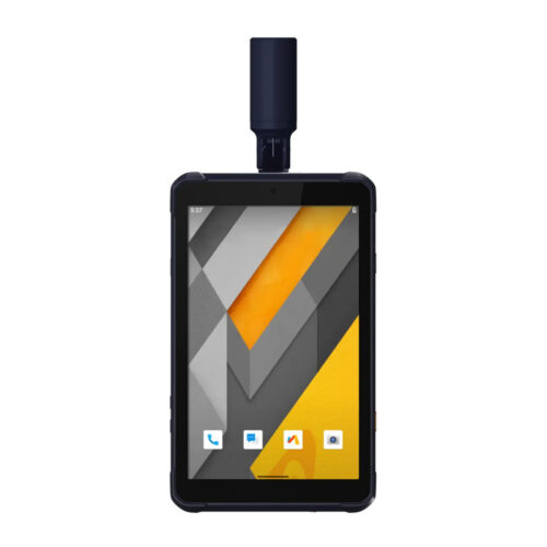
Tablet LT700H RTK in Uzbekistan, Tashkent
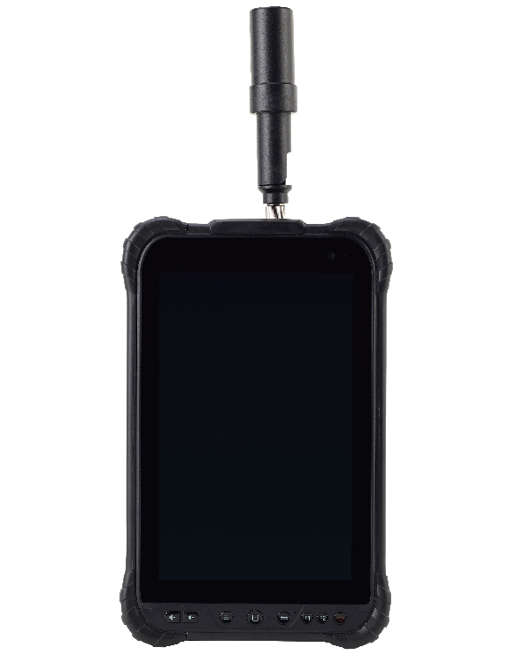
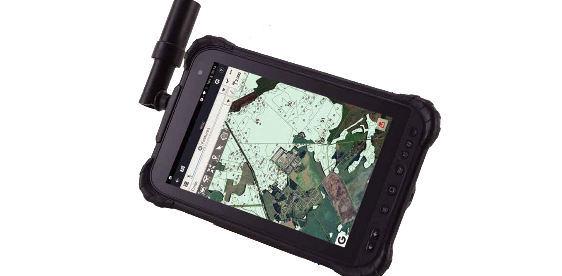
Portable, rugged and versatile, the LT700H enables precision GIS data collection, forensic mapping, construction site layout, environmental surveys, landscaping and earthmoving job.
The LT700H enables further use of GNSS technology, from single operator to companies with large field crews.
BRING ACCURACY AT YOUR FINGERTIPS
Benefit from full-GNSS RTK networks corrections.
Powered by 184-channel high performance GPS, Glonass, Galileo and BeiDou module and superior tracking GNSS helical antenna, the LT700H provides best-in-class centimeter to decimeter position in demanding environments.
HIGH PORTABILITY AND VERSATILE Tablet LT700H RTK
GMS certified for extended compatibility.
Bearing the GMS (Google Mobile Service) certification, the LT700H runs seamlessly the most common professional data collection applications available from Google Play Store. Its integrated 4G modem ensures seamless communication from field-to-office and robust connectivity to GNSS RTK networks corrections.
8-INCH IPS DISPLAY FOR EXTRA COMFORT OF USE Tablet LT700H RTK
Vibrant IPS sunlight-viewable touch screen.
The LT700H Corning Gorilla Glass 3 IPS display provides extended durability in all weather conditions. Its 10 points capacitive multi-touch screen enables data collection with a stylus and even gloves or wet hands to match every working conditions.
KEEP YOUR DATA SECURE Tablet LT700H RTK
Industrial IP67 design with 8 000mAh Li-ion battery.
The LT700H rugged design secures your data even in harsh environment and adverse weather conditions. Up to 12 hours operation time keep mobile workforce focusing on data collection without interruption.
The LT700H RTK tablet is a rugged GNSS (Global Navigation Satellite System) device designed for field data collection and real-time kinematic (RTK) positioning. It is typically used in surveying, mapping, and construction applications where high-precision positioning data is required. Here’s an overview of the LT700H RTK tablet:
- RTK Positioning: The LT700H RTK tablet supports real-time kinematic (RTK) positioning, a technique used to achieve centimeter-level accuracy in real-time. It utilizes corrections from a reference station to enhance the positioning accuracy of the tablet.
- GNSS Capabilities Tablet LT700H RTK: The tablet is equipped with GNSS technology, allowing it to receive signals from multiple satellite constellations, including GPS (Global Positioning System), GLONASS (Global Navigation Satellite System), Galileo, and BeiDou. This multi-constellation support enhances the reliability and accuracy of positioning data.
- Rugged Design: The LT700H RTK tablet features a rugged and durable design that is built to withstand harsh environmental conditions encountered in outdoor fieldwork. It is typically dustproof, waterproof, and shockproof, ensuring reliable performance in challenging environments.
- High-Resolution Display: The tablet is equipped with a high-resolution touchscreen display that provides a clear and intuitive interface for viewing maps, collecting data, and navigating through applications. The display is designed to be visible even in bright sunlight, making it suitable for outdoor use.
- Integrated GNSS Antenna: The LT700H RTK tablet typically features an integrated GNSS antenna for optimal satellite signal reception. The antenna is designed to provide consistent and reliable positioning performance even in areas with obstructed satellite visibility.
- Long Battery Life: The tablet is powered by a high-capacity rechargeable battery that provides extended operation time in the field. The long battery life allows users to collect data for extended periods without needing to recharge the device.
- Data Collection Software: The tablet may come pre-installed with data collection software specifically designed for surveying and mapping applications. This software allows users to collect, store, and manage GNSS data, as well as create maps and generate reports directly on the device.
- Wireless Connectivity: The LT700H RTK tablet typically features built-in wireless connectivity options such as Wi-Fi, Bluetooth, and cellular data, allowing for seamless data transfer and communication with external devices, networks, and cloud services.
- Accessories and Mounting Options: The tablet may be compatible with a range of accessories and mounting options, including GNSS antennas, external batteries, vehicle mounts, and tripods, providing flexibility for different fieldwork scenarios.
Other productes in category GIS data collection

