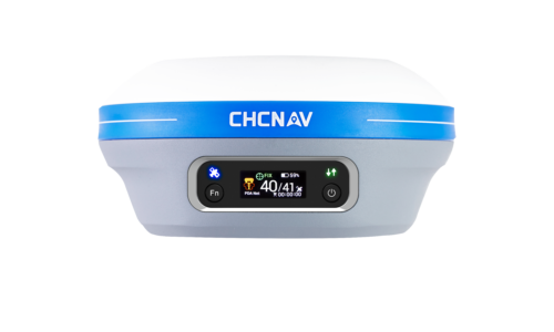
Description
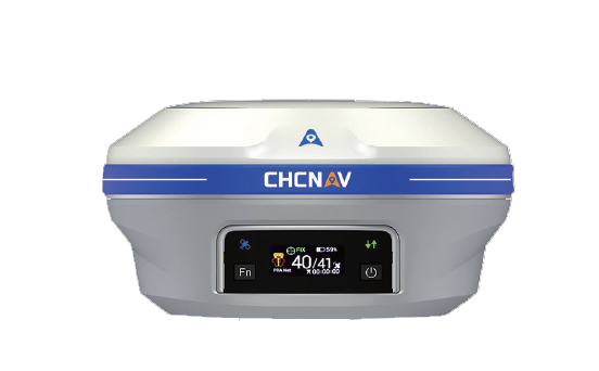
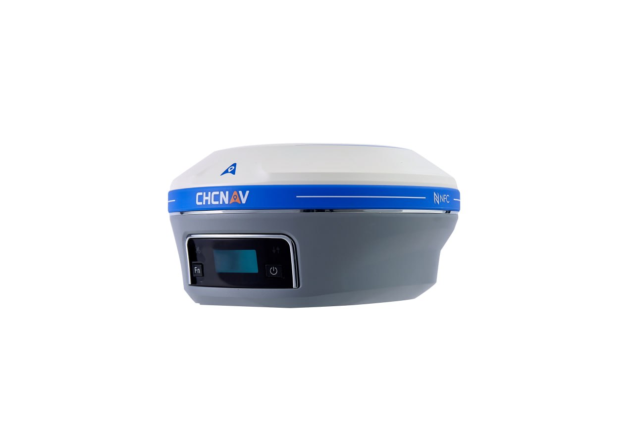
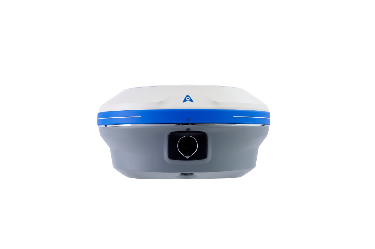
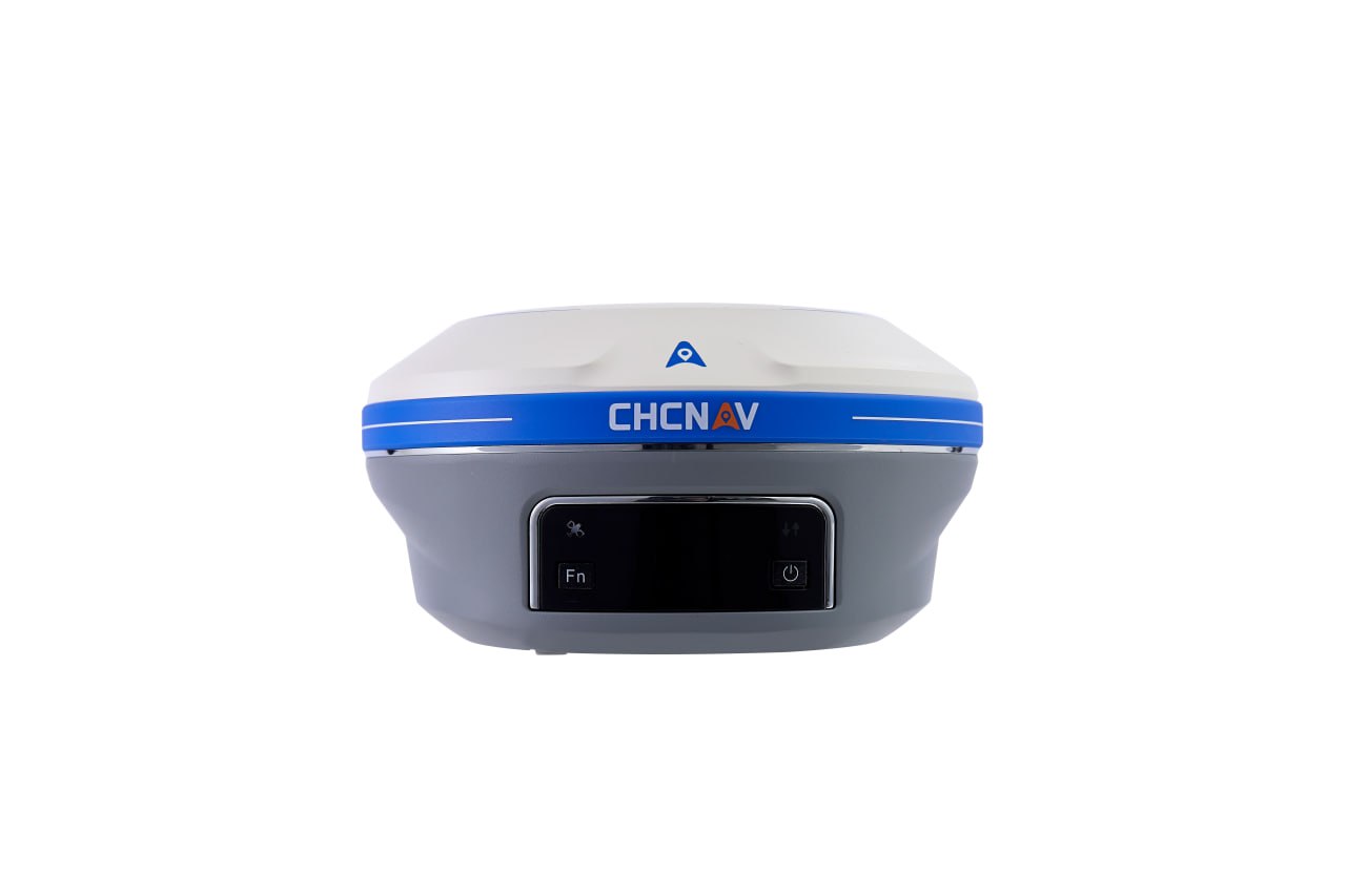
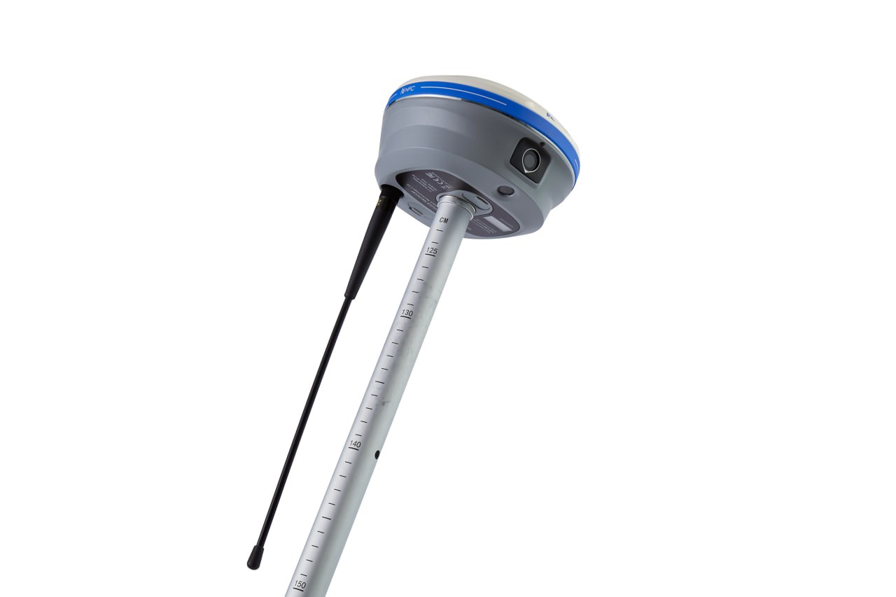
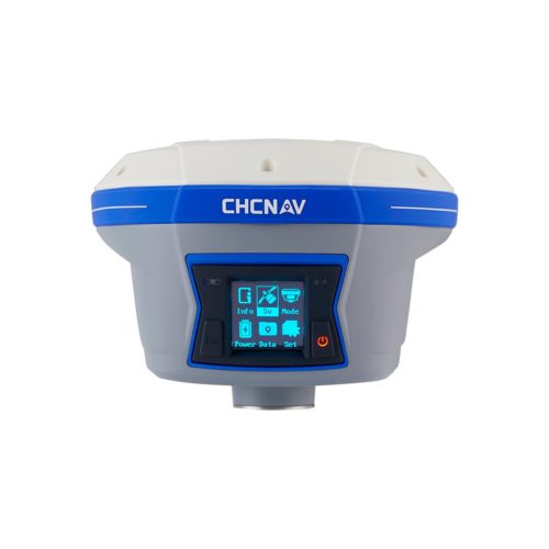
CHCNAV i93 in Uzbekistan, Tashkent
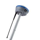
Visual surveying using video photogrammetry technology provides accurate point measurements and access to previously hard-to-reach, signal-barred and dangerous points. i93 GNSS can be used to complement aerial photography created from perspective images, as its data is compatible with the most popular 3D modeling software. The i93 GNSS receiver features the innovative CHCNAV iStar GNSS RTK algorithm, multi-band GNSS channels and a hybrid mechanism for reliable and accurate positioning even in the most challenging environments. The Auto-IMU i93 features automatic initialization, eliminating the need for manual initialization and making shooting in the field easier. i93 is the ideal solution for completing tasks faster, more accurately and efficiently.
Other products in category Survey and Engineering

