Geodetic accessories
Showing 1–12 of 14 results
Geodetic accessories are tools and equipment used in the field of geodesy, which is the science of accurately measuring and understanding the Earth’s shape, orientation in space, and gravitational field. These accessories are essential for surveying, mapping, and various geospatial applications. Some common geodetic accessories include:
- Total Stations: Total stations are electronic/optical instruments used for surveying and measuring angles and distances. They integrate a theodolite for measuring angles with an electronic distance measuring device (EDM) to measure distances.
- Global Navigation Satellite Systems (GNSS) Receivers: GNSS receivers use signals from satellites to determine precise positions on Earth. These receivers are commonly used for GPS (Global Positioning System), GLONASS (Global Navigation Satellite System), Galileo, and other satellite systems.
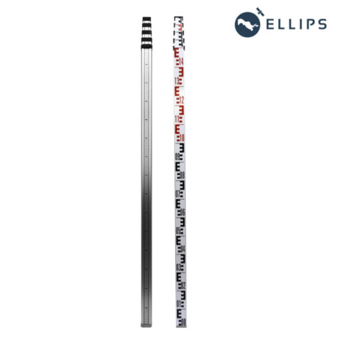
- Levels: Levels are instruments used to establish a horizontal line of sight. They are crucial for determining elevations and for ensuring accurate measurements in surveying projects.
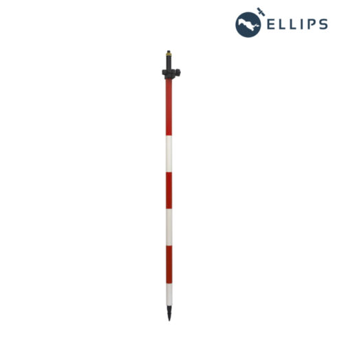
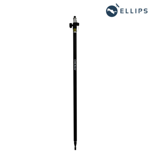
- Prisms and Prism Poles: Prisms are used in conjunction with total stations for precise measurements. They reflect the EDM signal back to the instrument, allowing for accurate distance measurements. Prism poles are used to hold prisms at specific heights above the ground.
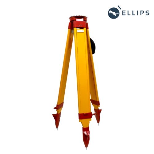
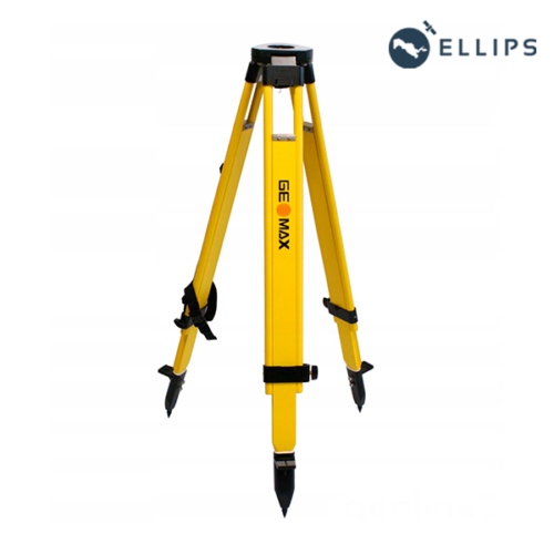
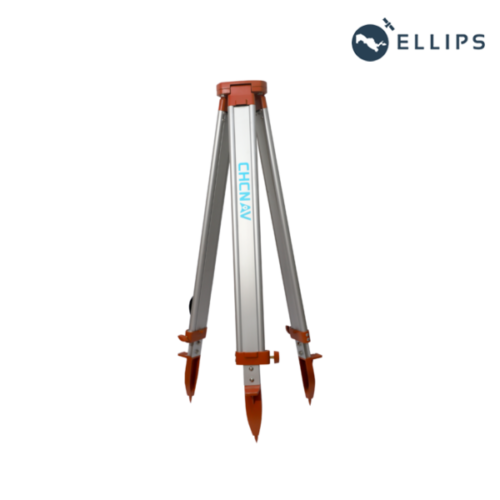
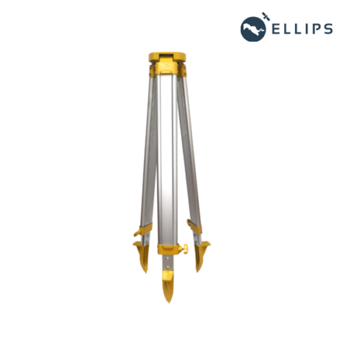
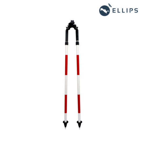
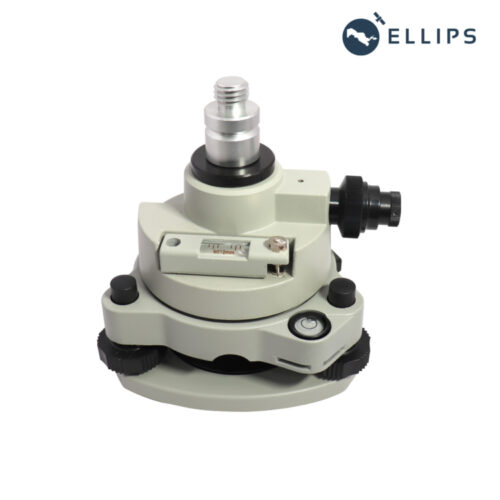
- Tripods and Bipods: These are supports for stabilizing surveying instruments such as total stations and levels. They ensure that the instruments remain steady during measurements, improving accuracy.
- Data Collectors: Data collectors are handheld devices used to input, store, and manage field data collected during surveys. They often connect to total stations and GNSS receivers, allowing surveyors to collect and process data efficiently.
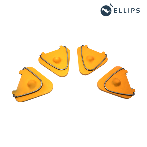
- Targets and Target Poles: Targets are used for precise targeting when conducting surveys. They may be placed on objects or stakes to mark specific points of interest. Target poles are used to hold targets at known heights above the ground.
- Field Books and Notebooks: Field books are used by surveyors to record observations, measurements, and other data collected during fieldwork. These notes are essential for maintaining accurate records and documenting surveying activities.
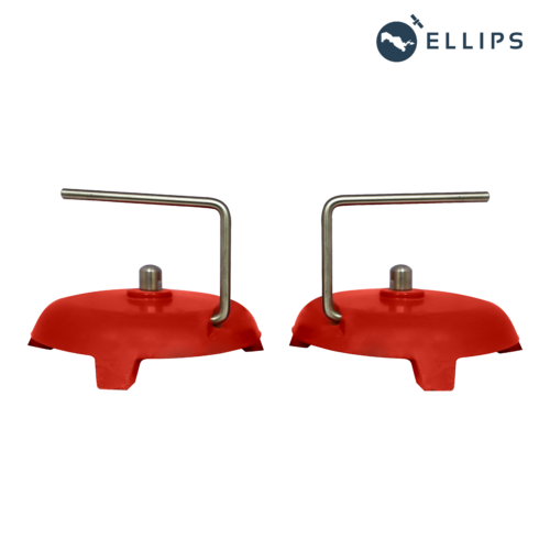
- Surveying Markers: Surveying markers, also known as control points or benchmarks, are permanent or semi-permanent markers placed in the ground to establish reference points for future surveys.
- Safety Equipment: Safety equipment such as high-visibility vests, helmets, and safety glasses are crucial accessories for ensuring the safety of surveyors working in the field.
These accessories, along with advanced software tools for data processing and analysis, play a vital role in modern geodetic surveys and mapping projects, enabling accurate measurements and the creation of detailed geospatial information.
Buy Geodetic accessories products in Uzbekistan, in Tashkent