Optical levels
Showing all 5 results
Категории товаров
- Adelix 17
- Ellips Equipment 96
- Automated control systems 3
- Geodetic accessories 12
- GIS data collection 2
- GNSS Infrastructure 2
- Locators 8
- Marine construction 3
- Navigators 4
- Optical levels 5
- Optical Surveying 11
- Precision agriculture 2
- Processing and adjustment of satellite geodetic networks 3
- Rotary laser levels 16
- Survey and Engineering 13
- Theodolites 1
- Unmanned Aircraft Systems 12
- Other 3
- Pavillo 45
- Radiodetection 70
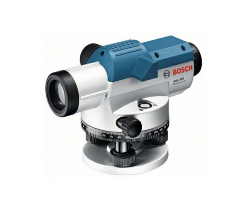
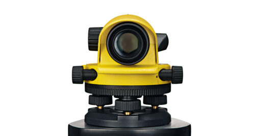
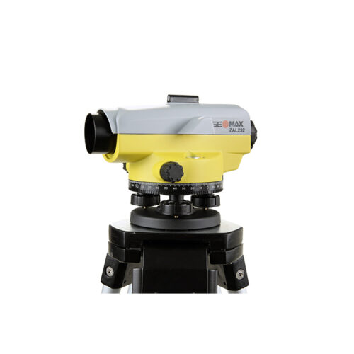
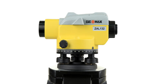
Optical levels, also known as dumpy levels or automatic levels, are surveying instruments used to measure height differences and to establish horizontal lines. They are commonly used in construction, engineering, and land surveying for various tasks such as setting grades, measuring elevations, and transferring levels.
Here’s how optical levels typically work and some of their key features:
- Principle of Operation: Optical levels work based on the principle of a telescope mounted on a stable tripod. The telescope contains a built-in level or compensator that ensures the line of sight remains horizontal regardless of the instrument’s position. By looking through the telescope and aligning a crosshair with a reference point, the user can determine height differences between various points on the ground.
- Components: Optical levels consist of several components, including:
- Telescope: The main optical component used for sighting.
- Leveling Base: A platform that allows the instrument to be leveled.
- Horizontal Circle: A graduated circle used for measuring horizontal angles.
- Focusing Mechanism: Allows the user to focus the telescope for clear viewing.
- Eyepiece: Where the user looks through to view the crosshair and target.
- Tripod: A stable support for the instrument.
- Accuracy: Optical levels can provide high levels of accuracy, typically within a few millimeters per kilometer of sight distance. However, accuracy can be affected by factors such as instrument quality, atmospheric conditions, and user proficiency.
- Ease of Use: Optical levels are relatively easy to use compared to more complex surveying instruments like total stations or GPS receivers. They require basic training to set up, level, and take measurements.
- Applications: Optical levels are used for a variety of surveying and construction tasks, including:
- Establishing benchmark elevations.
- Setting grade for roads, railways, and foundations.
- Checking building levels during construction.
- Monitoring settlement and deformation of structures.
- Creating contour maps and topographic surveys.
- Types: There are different types of optical levels available, including manual levels where the user adjusts the sight manually, and automatic levels which have a compensator that automatically maintains the horizontal line of sight.
Overall, optical levels are versatile and essential tools in the field of surveying and construction, providing accurate and reliable measurements for a wide range of applications.
Buy optical levels in Uzbekistan, in Tashkent