Description
LandStar2 8 in Uzbekistan, Tashkent
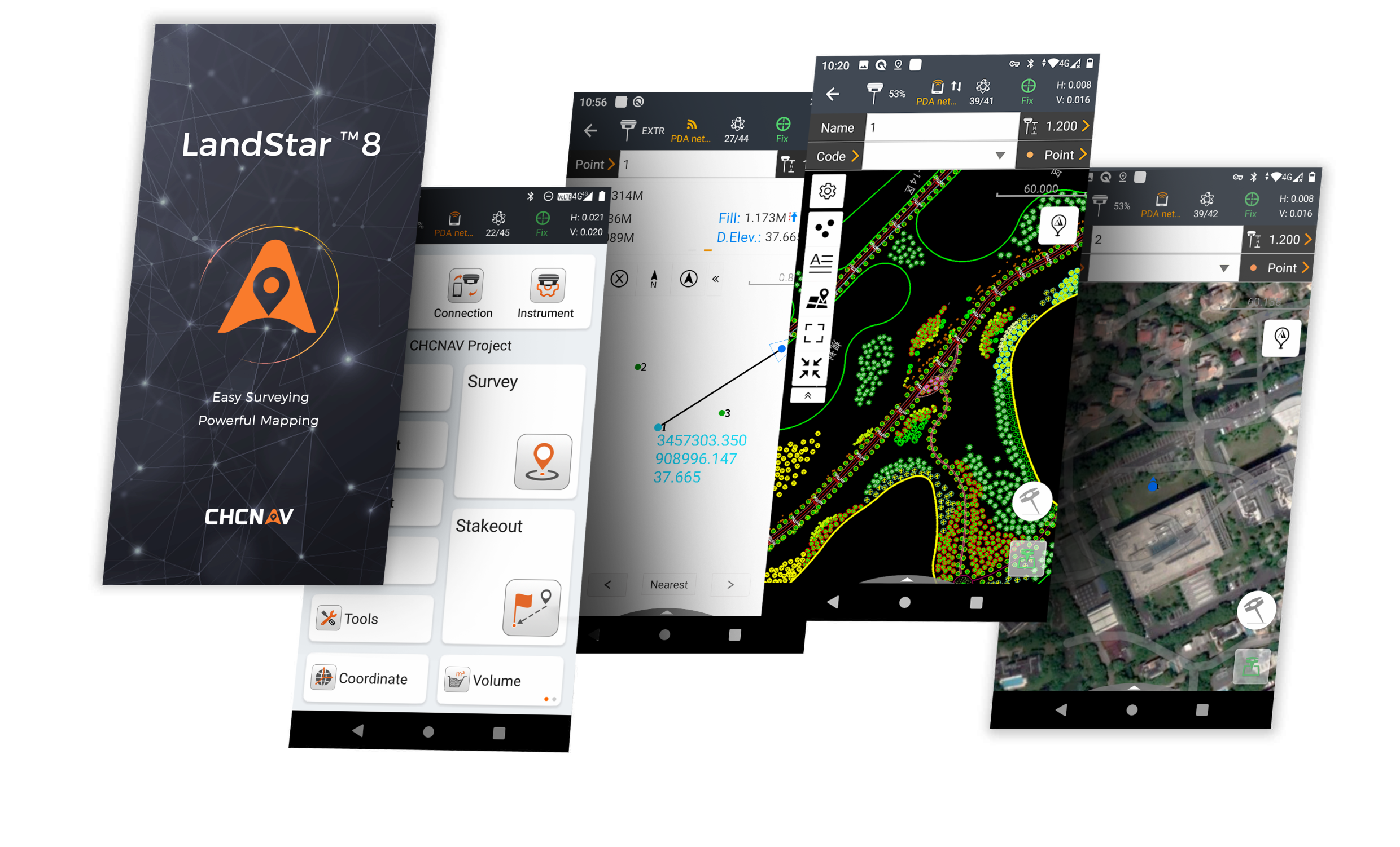
CHC Navigation (CHCNAV) has released the LandStar8 field survey and mapping app for Android devices. LandStar8 (or LS 8) is a versatile, modular and customizable software for topographic applications such as surveying, staking, cadastre, mapping and GIS. Building on the core functionality of the LandStar7, the new LandStar8 offers many new features such as an enhanced user interface, streamlined workflows, even faster performance and integrated cloud services.
Other products in category Processing and adjustment of satellite geodetic networks

