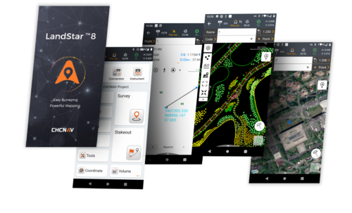


Description
CPS stations1 in Uzbekistan, Tashkent
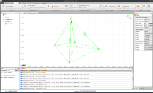
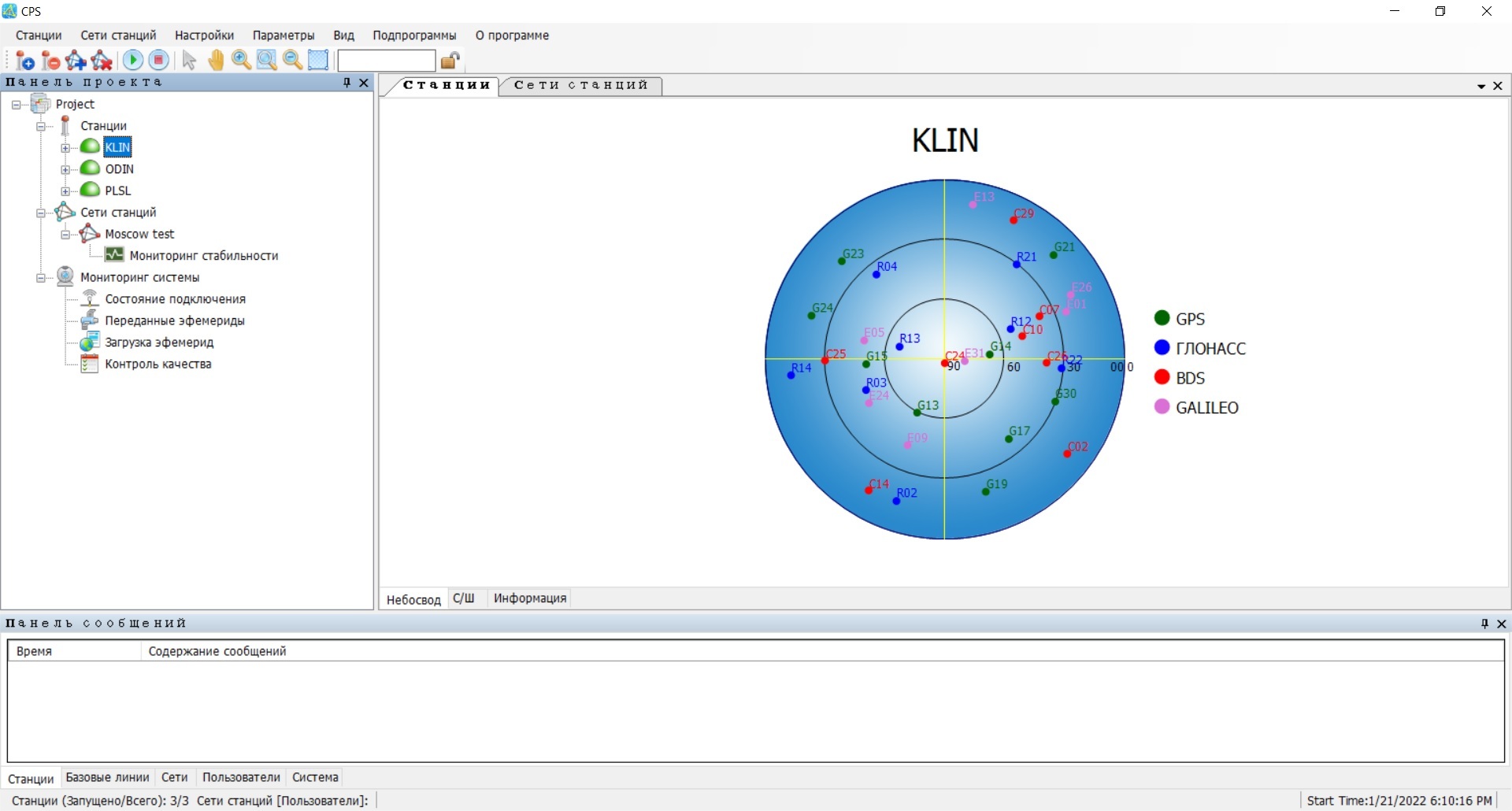
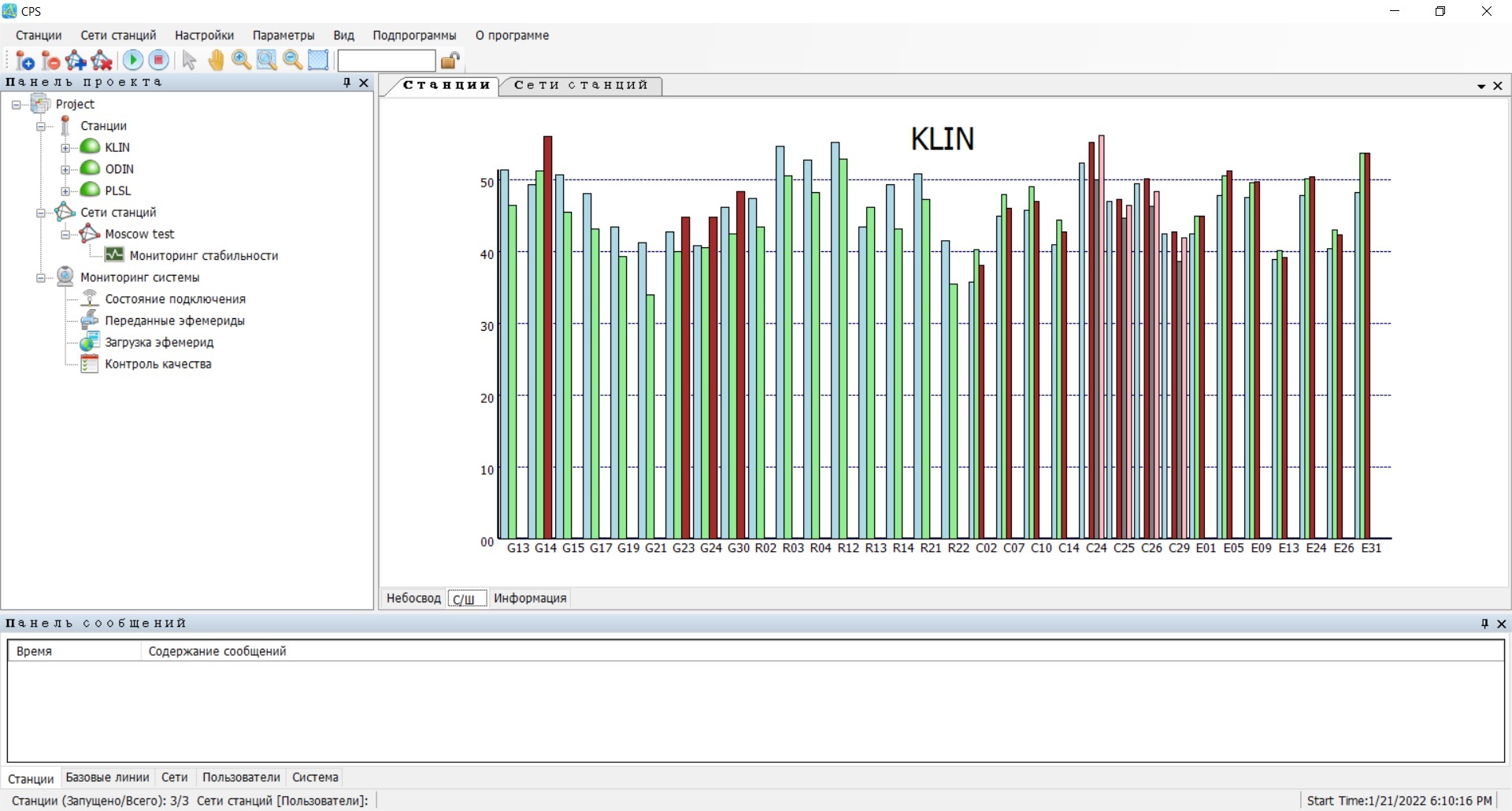
CPS is a program for creating and managing a network of reference stations.
- Modern and high-performance solution
- Support for modern global navigation satellite systems GLONASS, GPS, BeiDou
- Intuitive web interface.
- Russian-language interface.
- Integration into a single network of receivers from any modern manufacturers of satellite equipment
- Easy to set up, use and administer
- Issuing corrections from a single base station and network corrections (improved virtual reference station method – VRS)
- Network solution support
- Ability to create an unlimited number of networks in various configurations
- Monitoring the performance of receivers and connections
- Powerful billing system
- Possibility of adding new functionality taking into account the wishes of Russian consumers
In recent years, the task of creating networks of reference stations has become increasingly urgent. The most popular is the creation of small technological networks based on one enterprise to be able to carry out work, including subcontractors, in a single object coordinate system.
The network of reference stations is designed to create a unified coordinate-time space, as well as solve a number of commercial problems, including:
- carrying out engineering, geodetic and topographical work;
- carrying out cadastral and boundary work;
- inventory of buildings, structures, linear and other engineering infrastructure facilities;
- navigation support for high-precision agricultural work (up to the control of machines and units for agricultural purposes);
- solving forest management problems;
- solving problems of high-precision navigation and dispatching of land, river and air vehicles;
- coordinate and time support of search and rescue operations;
- monitoring of emergency situations;
- determining the coordinates of centers for photographing aerial photographs, turning points of land boundaries.
Advantages of a network of reference stations:
- Work of all users in a single coordinate system;
- Management of the entire network of reference stations by one operator from one computer with the ability to connect remotely;
- Ability to work with all satellite global navigation systems;
- Cost-effective provision of coordinate information to users;
- Saving human and hardware resources of network users;
- Solving not only topographic, geodetic and navigation problems, but also administrative tasks of territory management.
To solve the above problems, we are pleased to offer you today’s unique software – CPS, which allows you to obtain an inexpensive and high-quality solution for organizing and managing a network of reference stations and providing the correction field to all interested persons.
CPS comes immediately with all the necessary functionality without the need to purchase additional licenses to expand functionality.
By default, operation and transmission of corrections is ensured using satellite systems GLONASS, GPS, BeiDou.
You can configure the issuance of corrections from both the selected reference station and the network solution with one click. Amendments are transmitted to consumers in the following modes:
- transmit code corrections (DGPS) in real time
- transmission of phase corrections (RTK) in real time
- transfer of measurement data files for subsequent processing in RINEX format version 2.11 or 3.0.
To store information, the program supports working with Access or SQL databases.
The intuitive Russian-language interface is simple and easy to use. Setting up connection of stations, creating access points and organizing user access is not difficult CPS stations1.
Using various tools, you can monitor the performance of all network receivers, user connections, collect statistics on the use of data from the network of reference stations, and promptly resolve problems that arise.
The basic version of the program supports working with 3 reference stations. As the size of your network increases, you only need to purchase licenses to connect an additional number of receivers CPS stations1.
The functionality of the program is constantly expanding taking into account the wishes of users CPS stations1.
Easy to use, but no less powerful, CPS software is I am your solution for creating and managing a network of reference stations.
Other products in category Processing and adjustment of satellite geodetic networks