Showing all 3 results
GIS (Geographic Information System) data collection involves gathering, storing, and managing geographic data that can be used for mapping, analysis, and decision-making. There are several methods and technologies used for GIS data collection:
- GPS (Global Positioning System): GPS technology allows for precise positioning on the Earth’s surface. GPS receivers can collect coordinates (latitude, longitude, and sometimes altitude) that are used to create spatial data.
- Remote Sensing: Remote sensing involves collecting information about the Earth’s surface from a distance, typically using satellites or aerial imagery. This can include capturing data such as land cover, vegetation health, urban development, and more.
- Field Surveys: Field surveys involve physically going to locations to collect data. This can include using GPS devices to collect coordinates, as well as collecting attribute data about features observed in the field.
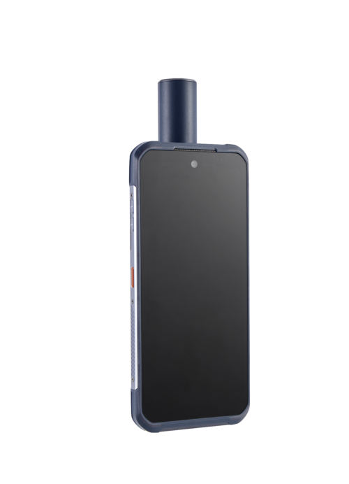
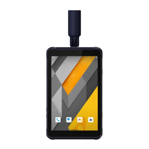
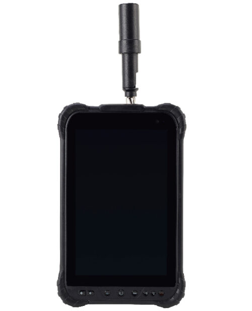
- Mobile Data Collection Apps: There are many mobile applications available for smartphones and tablets that allow users to collect GIS data in the field. These apps often integrate GPS functionality and allow users to input attribute data directly into the device.
- LiDAR (Light Detection and Ranging): LiDAR technology uses laser pulses to measure distances to the Earth’s surface, creating highly accurate 3D models of terrain and features. LiDAR data can be collected from aircraft or ground-based systems.
- Crowdsourcing: Crowdsourcing involves gathering data from a large number of individuals or volunteers. This can be done through platforms like OpenStreetMap, where users contribute geographic data such as roads, buildings, and points of interest.
- Satellite Imagery: Satellite imagery provides high-resolution images of the Earth’s surface, which can be used for mapping and analysis. There are many commercial and free sources of satellite imagery available, such as Landsat, Sentinel, and Google Earth.
- Web Scraping and Data Aggregation: Data can also be collected from various online sources such as government databases, weather stations, social media, and other web-based platforms. Web scraping techniques can be used to extract relevant geographic data from these sources.
Overall, GIS data collection methods vary depending on the specific needs of the project, the scale of the area being studied, and the level of accuracy required for the analysis. It often involves a combination of different techniques to gather comprehensive and accurate spatial data.
Buy GIS data collection products in Uzbekistan, in Tashkent


